At Seafloor Mapping we have experience in using a wide variety of software packages for the acquisition and processing of multibeam data.
APPLANIX POSPAC
POSPac is Applanix‘s industry-leading modular post-processing software, designed to fully exploit the accuracy potential of the POS/MV system. By analyzing and blending integrated Inertial/GPS data, POSPac provides increased post-mission data accuracy over the real-time solution.
AUTOCAD MAP
AutoCAD Map 3D mapping software is the leading engineering platform for creating and managing spatial data. Produced Autodesk this geospatial software bridges CAD and GIS by providing direct access to data and enables the use of AutoCAD software tools for maintaining a broad variety of design and geospatial information.
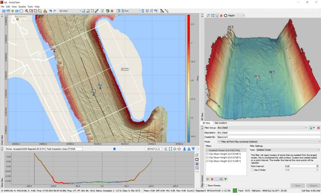
BEAMWORX AUTOCLEAN
BeamworX AutoClean is a user-friendly and robust point cloud cleaning program for Bathymetric and Lidar point data. In times where software becomes more and more complex this new cleaning tool is focused on day to day cleaning on board of survey vessels or near site. Very easy to learn, easy to operate and to install program. Due to its flexible import and export it will fit in every workflow.
CARIS HIPS
Caris HIPS is designed to post-process bathymetric and sidescan sonar data from a variety of industry standard sonar data-logging formats, easily integrating into any workflow. Proven automated data cleaning filters and algorithms assist in today’s high data volume environments. This coupled with the ability to easily produce vector products such as contours and selected soundings make the software a powerful production tool.
EIVA
The EIVA software product suite comprises of software for all aspects of marine surveying, from integrated navigation and data acquisition to post-processing and final charting. Full continuity is provided between the individual software packages.
FUGRO STARFIX
The Fugro Starfix software suite is a series of applications for the acquisition and processing of marine data sets. Developed in-house, this software is not available commercially.

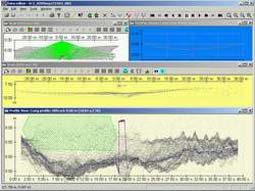
HYPACK
HYPACK is one of the most widely used hydrographic surveying packages in the world, with over 3,000 users. It provides the surveyor with all of the tools needed to design their survey, collect data, process it, reduce it, and generate final products. Multibeam data editing, sonar alignment calibration and system performance testing are all provided in the powerful Multibeam Editor. The program performs automatic or manual filtering, using geometric and statistical methods.

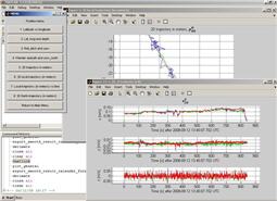
IXBLUE DELPH INS
Delph INS is inertial navigation system post-processing software for the iXBlue product range; PHINS, ROVINS, HYDRINS, LANDINS, and AIRINS. Powerful data editing and processing functions together with data export capability make this tool ideal for quick and easy navigation improvement and data QA/QC analysis.

KONGSBERG NAVLAB
NavLab (Navigation Laboratory) is a powerful and versatile tool intended for navigation system research and development, accuracy analysis and data post-processing. Developed by Kongsberg this application operates through the MATLAB environment. It is predominantly used to post-process data acquired by the Kongsberg HAIN (Hydro-acoustic Aided Inertial Navigation) system.
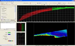
TELEDYNE RESON PDS2000
PDS2000 is a software package for hydrographic survey and dredging operations developed by Reson. It offers an integrated solution to survey planning, data acquisition, editing, chart production and volume calculations. The software interfaces to many sensors and is manufacturer independent. Real time processing allows the results to be used directly after the survey. For fine tuning of the real-time processed data you can use the 3D Multibeam swath area editor, allowing multiple lines of multibeam data to be checked and edited.
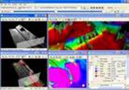
QPS QIMERA
Qimera is an easy to use, yet most powerful sonar data processing application, designed to process, analyze and visualize multibeam echosounder data. Built using core QPS technologies, Qimera naturally supports the QINSy data logging format in addition to sonar file formats from other hardware and software manufacturers. Qimera intelligently and interactively guides the operator through the typical data processing stages, simplifying what traditionally has been a convoluted process.

QPS QINSY
QINSy provides a turnkey solution for all types of marine navigation, positioning and surveying activities. From survey planning, to data collection, data cleaning, volume calculations, bathymetric chart production, and S-57 ENC production, QINSy offers a seamless data flow from a large variety of hardware sensors, all the way to a complete chart product. The software is not only independent of sensor manufacturer, but also hardware independent.